IDTreeS

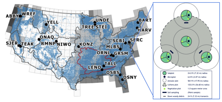
Understanding and managing forests is crucial to understanding and potentially mitigating the effects of climate change, invasive species, and shifting land use on natural systems and human society. However, collecting data on individual trees in the field is expensive and time consuming, which limits the scales at which this crucial data is collected. Combining large scale survey efforts with remotely sensed imagery from satellites, airplanes, and drones provide the potential to observe ecosystems at much larger scales than using field data alone.


